
Thank you for supporting this site ❤️
Make a donation
Make a donation
Tinajani topographic map
Click on the map to display elevation.
Thank you for supporting this site ❤️
Make a donation
Make a donation
About this map
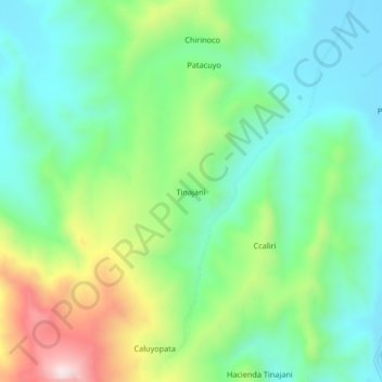
Name: Tinajani topographic map, elevation, terrain.
Location: Tinajani, Ayaviri, Province of Melgar, Puno, Peru (-14.99959 -70.61426 -14.95959 -70.57426)
Average elevation: 4,090 m
Minimum elevation: 3,925 m
Maximum elevation: 4,450 m
Thank you for supporting this site ❤️
Make a donation
Make a donation