
Cañedo topographic map
Interactive map
Click on the map to display elevation.
About this map
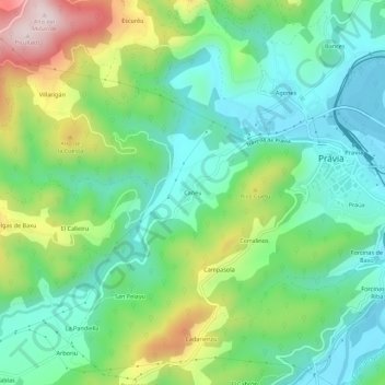
Name: Cañedo topographic map, elevation, terrain.
Location: Cañedo, Pravia, Asturias, 33120, España (43.46602 -6.15372 43.50602 -6.11372)
Average elevation: 144 m
Minimum elevation: 4 m
Maximum elevation: 448 m