
Thank you for supporting this site ❤️
Make a donation
Make a donation
Donghe District topographic map
Click on the map to display elevation.
Thank you for supporting this site ❤️
Make a donation
Make a donation
About this map
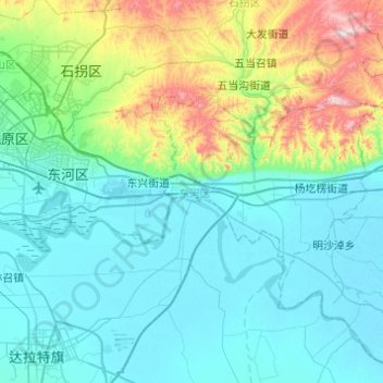
Name: Donghe District topographic map, elevation, terrain.
Location: Donghe District, Baotou City, Inner Mongolia, 014000, China (40.46107 109.94734 40.65216 110.43720)
Average elevation: 1,145 m
Minimum elevation: 996 m
Maximum elevation: 1,853 m
Thank you for supporting this site ❤️
Make a donation
Make a donation