
Lissewege topographic map
Interactive map
Click on the map to display elevation.
About this map
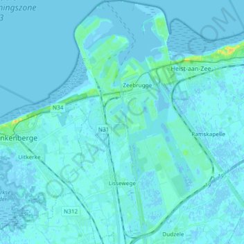
Name: Lissewege topographic map, elevation, terrain.
Location: Lissewege, Bruges, Flandre-Occidentale, Flandre, 8380, Belgique (51.27087 3.15425 51.36335 3.23047)
Average elevation: 2 m
Minimum elevation: -3 m
Maximum elevation: 23 m