
Thank you for supporting this site ❤️
Make a donation
Make a donation
Lauta topographic map
Click on the map to display elevation.
Thank you for supporting this site ❤️
Make a donation
Make a donation
About this map
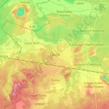
Name: Lauta topographic map, elevation, terrain.
Location: Lauta, Bautzen, Sachsen, 02991, Deutschland (51.41504 14.05504 51.49504 14.13504)
Average elevation: 123 m
Minimum elevation: 72 m
Maximum elevation: 168 m
Thank you for supporting this site ❤️
Make a donation
Make a donation