
Village of Plover topographic map
Interactive map
Click on the map to display elevation.
About this map
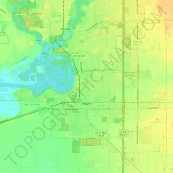
Name: Village of Plover topographic map, elevation, terrain.
Location: Village of Plover, Portage County, Wisconsin, United States (44.43214 -89.60865 44.49752 -89.48823)
Average elevation: 330 m
Minimum elevation: 315 m
Maximum elevation: 345 m