
乌石堰东干渠 topographic map
Interactive map
Click on the map to display elevation.
About this map
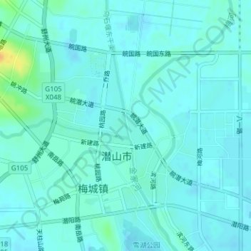
Name: 乌石堰东干渠 topographic map, elevation, terrain.
Location: 乌石堰东干渠, 潜山市, 安庆市, 安徽省, 246300, 中国 (30.64153 116.57761 30.64435 116.57833)
Average elevation: 28 m
Minimum elevation: 23 m
Maximum elevation: 53 m