
Milford Park topographic map
Interactive map
Click on the map to display elevation.
About this map
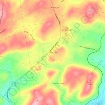
Name: Milford Park topographic map, elevation, terrain.
Average elevation: 221 m
Minimum elevation: 125 m
Maximum elevation: 291 m
Other topographic maps
Click on a map to view its topography, its elevation and its terrain.
Old Zionsville
United States > Pennsylvania > Lehigh County > Upper Milford Township
Old Zionsville, Upper Milford Township, Lehigh County, Pennsylvania, 18068, United States
Average elevation: 217 m