
Chonta topographic map
Interactive map
Click on the map to display elevation.
About this map
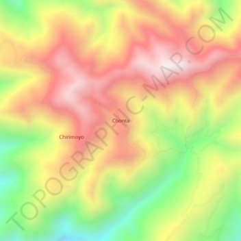
Name: Chonta topographic map, elevation, terrain.
Location: Chonta, Sondor, Huancabamba, Piura, Perú (-5.44970 -79.39880 -5.40970 -79.35880)
Average elevation: 2,288 m
Minimum elevation: 1,763 m
Maximum elevation: 2,725 m