
双塔街道 topographic map
Interactive map
Click on the map to display elevation.
About this map
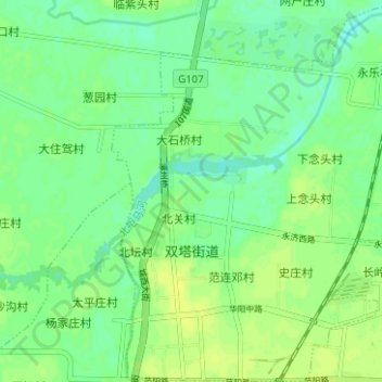
Name: 双塔街道 topographic map, elevation, terrain.
Location: 双塔街道, 涿州市, 保定市, 河北省, 中国 (39.48389 115.95406 39.53222 116.00991)
Average elevation: 34 m
Minimum elevation: 26 m
Maximum elevation: 41 m
Other topographic maps
Click on a map to view its topography, its elevation and its terrain.