
Schurwald topographic map
Interactive map
Click on the map to display elevation.
About this map
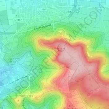
Name: Schurwald topographic map, elevation, terrain.
Average elevation: 359 m
Minimum elevation: 275 m
Maximum elevation: 479 m
Other topographic maps
Click on a map to view its topography, its elevation and its terrain.
Esslinger Tor
Deutschland > Baden-Württemberg > Rems-Murr-Kreis > Fellbach
Esslinger Tor, Fellbach, Rems-Murr-Kreis, Baden-Württemberg, 70734, Deutschland
Average elevation: 368 m