
Corners topographic map
Interactive map
Click on the map to display elevation.
About this map
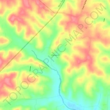
Name: Corners topographic map, elevation, terrain.
Location: Corners, Perry County, Misuri, Estados Unidos de América (37.63644 -90.13095 37.67644 -90.09095)
Average elevation: 268 m
Minimum elevation: 222 m
Maximum elevation: 305 m