
Thank you for supporting this site ❤️
Make a donation
Make a donation
Lustin topographic map
Click on the map to display elevation.
Thank you for supporting this site ❤️
Make a donation
Make a donation
About this map
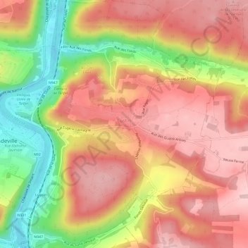
Name: Lustin topographic map, elevation, terrain.
Location: Lustin, Profondeville, Namen, Wallonië, België (50.36024 4.86734 50.39707 4.91919)
Average elevation: 199 m
Minimum elevation: 76 m
Maximum elevation: 278 m
Thank you for supporting this site ❤️
Make a donation
Make a donation
Other topographic maps
Click on a map to view its topography, its elevation and its terrain.