
Udon Thani topographic map
Interactive map
Click on the map to display elevation.
About this map
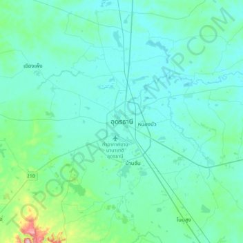
Name: Udon Thani topographic map, elevation, terrain.
Location: Udon Thani, Udon Thani Province, 41000, Thailand (17.23831 102.63204 17.55831 102.95204)
Average elevation: 193 m
Minimum elevation: 166 m
Maximum elevation: 427 m