
Sangrun topographic map
Interactive map
Click on the map to display elevation.
About this map
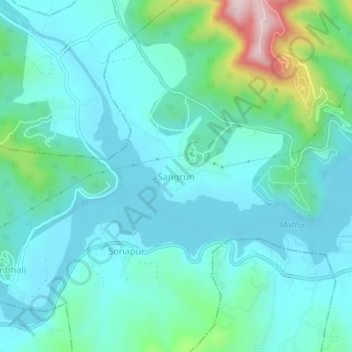
Name: Sangrun topographic map, elevation, terrain.
Location: Sangrun, Haveli, Pune, Maharashtra, India (18.37961 73.65681 18.41961 73.69681)
Average elevation: 640 m
Minimum elevation: 572 m
Maximum elevation: 939 m