
Langley topographic map
Interactive map
Click on the map to display elevation.
About this map
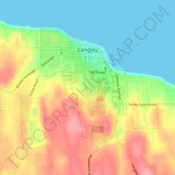
Name: Langley topographic map, elevation, terrain.
Location: Langley, Island County, Washington, États-Unis d'Amérique (48.02472 -122.42704 48.04352 -122.38721)
Average elevation: 48 m
Minimum elevation: 0 m
Maximum elevation: 103 m