
Thank you for supporting this site ❤️
Make a donation
Make a donation
Kichangani topographic map
Click on the map to display elevation.
Thank you for supporting this site ❤️
Make a donation
Make a donation
About this map
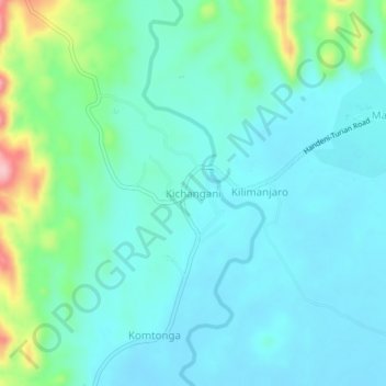
Name: Kichangani topographic map, elevation, terrain.
Location: Kichangani, Mvomero, Morogoro Region, Coastal Zone, Tanzania (-6.16642 37.57452 -6.12642 37.61452)
Average elevation: 394 m
Minimum elevation: 359 m
Maximum elevation: 535 m
Thank you for supporting this site ❤️
Make a donation
Make a donation