
Thank you for supporting this site ❤️
Make a donation
Make a donation
Unterer See topographic map
Click on the map to display elevation.
Thank you for supporting this site ❤️
Make a donation
Make a donation
About this map
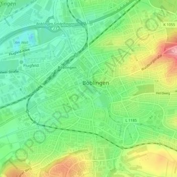
Name: Unterer See topographic map, elevation, terrain.
Average elevation: 453 m
Minimum elevation: 409 m
Maximum elevation: 524 m
Thank you for supporting this site ❤️
Make a donation
Make a donation
Other topographic maps
Click on a map to view its topography, its elevation and its terrain.
Dagersheim
Germany > Baden-Württemberg > Landkreis Böblingen > Böblingen > Dagersheim
Average elevation: 448 m