
纺织路 topographic map
Interactive map
Click on the map to display elevation.
About this map
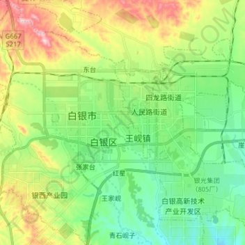
Name: 纺织路 topographic map, elevation, terrain.
Location: 纺织路, 白银区, 白银市, 甘肃省, 中国 (36.49053 104.07361 36.59298 104.16146)
Average elevation: 1,743 m
Minimum elevation: 1,618 m
Maximum elevation: 1,995 m
Other topographic maps
Click on a map to view its topography, its elevation and its terrain.