
Baker Hill topographic map
Interactive map
Click on the map to display elevation.
About this map
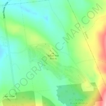
Name: Baker Hill topographic map, elevation, terrain.
Average elevation: 397 m
Minimum elevation: 343 m
Maximum elevation: 500 m
Other topographic maps
Click on a map to view its topography, its elevation and its terrain.
Newbury
United States > New Hampshire > Merrimack County > Newbury > Newbury
Newbury, Merrimack County, New Hampshire, 03255, United States
Average elevation: 456 m