
太平门(原址) topographic map
Interactive map
Click on the map to display elevation.
About this map
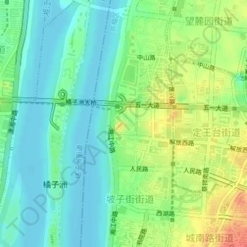
Name: 太平门(原址) topographic map, elevation, terrain.
Location: 太平门(原址), 坡子街街道, 天心区, 长沙市, 湖南省, 410005, 中国 (28.18682 112.95464 28.20682 112.97464)
Average elevation: 39 m
Minimum elevation: 21 m
Maximum elevation: 72 m
Other topographic maps
Click on a map to view its topography, its elevation and its terrain.