
Neyrolles topographic map
Interactive map
Click on the map to display elevation.
About this map
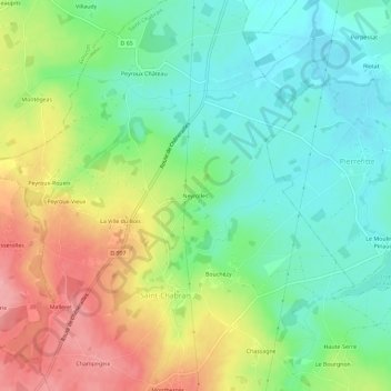
Name: Neyrolles topographic map, elevation, terrain.
Average elevation: 431 m
Minimum elevation: 386 m
Maximum elevation: 500 m
Other topographic maps
Click on a map to view its topography, its elevation and its terrain.
Peyroux-Vieux
France > Nouvelle-Aquitaine > Creuse > Saint-Chabrais
Peyroux-Vieux, Saint-Chabrais, Aubusson, Creuse, Nouvelle-Aquitaine, France métropolitaine, 23130, France
Average elevation: 455 m