
Mahottari topographic map
Click on the map to display elevation.
About this map
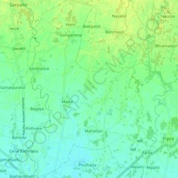
Name: Mahottari topographic map, elevation, terrain.
Location: Mahottari, Madhesh Province, Nepal (26.66797 85.78276 26.74413 85.84857)
Average elevation: 71 m
Minimum elevation: 64 m
Maximum elevation: 78 m