
Thank you for supporting this site ❤️
Make a donation
Make a donation
Söderhamn topographic map
Click on the map to display elevation.
Thank you for supporting this site ❤️
Make a donation
Make a donation
About this map
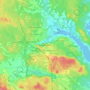
Name: Söderhamn topographic map, elevation, terrain.
Location: Söderhamn, Söderhamns kommun, Gävleborg County, 826 30, Sweden (61.25985 17.02076 61.33985 17.10076)
Average elevation: 24 m
Minimum elevation: -1 m
Maximum elevation: 71 m
Thank you for supporting this site ❤️
Make a donation
Make a donation