
Kemexhe topographic map
Interactive map
Click on the map to display elevation.
About this map
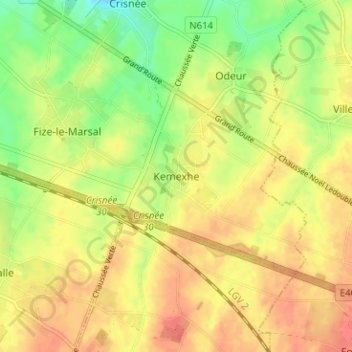
Name: Kemexhe topographic map, elevation, terrain.
Location: Kemexhe, Borgworm, Luik, Wallonië, 4367, België (50.67618 5.38604 50.71618 5.42604)
Average elevation: 137 m
Minimum elevation: 109 m
Maximum elevation: 157 m