
Kémerovo topographic map
Interactive map
Click on the map to display elevation.
About this map
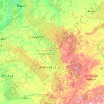
Name: Kémerovo topographic map, elevation, terrain.
Location: Kémerovo, Distrito federal de Siberia, Rusia (52.16270 84.44789 56.83442 89.40264)
Average elevation: 390 m
Minimum elevation: 63 m
Maximum elevation: 2,461 m
Other topographic maps
Click on a map to view its topography, its elevation and its terrain.