
Ruaha topographic map
Interactive map
Click on the map to display elevation.
About this map
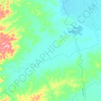
Name: Ruaha topographic map, elevation, terrain.
Location: Ruaha, Kilombero, Morogoro, Coastal Zone, Tanzanie (-9.14652 35.75645 -9.06659 35.94423)
Average elevation: 330 m
Minimum elevation: 283 m
Maximum elevation: 524 m
Other topographic maps
Click on a map to view its topography, its elevation and its terrain.