
Ossipee Lake topographic map
Interactive map
Click on the map to display elevation.
About this map
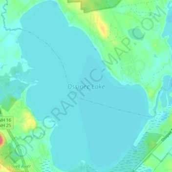
Name: Ossipee Lake topographic map, elevation, terrain.
Average elevation: 127 m
Minimum elevation: 118 m
Maximum elevation: 177 m
Other topographic maps
Click on a map to view its topography, its elevation and its terrain.
East Freedom
United States > New Hampshire > Carroll County > Freedom
East Freedom, Freedom, Carroll County, New Hampshire, United States
Average elevation: 144 m