
Thank you for supporting this site ❤️
Make a donation
Make a donation
Lions Head topographic map
Click on the map to display elevation.
Thank you for supporting this site ❤️
Make a donation
Make a donation
About this map
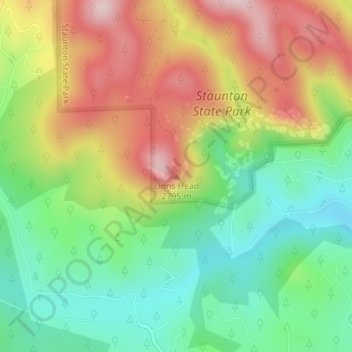
Name: Lions Head topographic map, elevation, terrain.
Location: Lions Head, Park County, Colorado, 80421, United States (39.50272 -105.42060 39.50282 -105.42050)
Average elevation: 2,653 m
Minimum elevation: 2,495 m
Maximum elevation: 2,862 m
Thank you for supporting this site ❤️
Make a donation
Make a donation