
Ouled Derradj topographic map
Interactive map
Click on the map to display elevation.
About this map
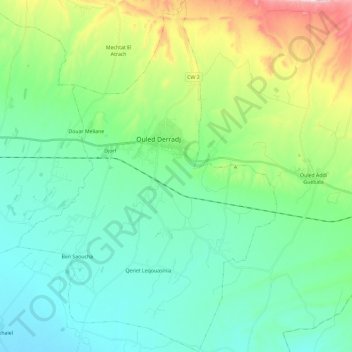
Name: Ouled Derradj topographic map, elevation, terrain.
Location: Ouled Derradj, Daïra Ouled Derradj, M'Sila, 28022, Algérie (35.57738 4.68214 35.76737 4.85462)
Average elevation: 538 m
Minimum elevation: 411 m
Maximum elevation: 935 m