
Thank you for supporting this site ❤️
Make a donation
Make a donation
Mittry Lake topographic map
Click on the map to display elevation.
Thank you for supporting this site ❤️
Make a donation
Make a donation
About this map
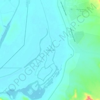
Name: Mittry Lake topographic map, elevation, terrain.
Location: Mittry Lake, Laguna, Yuma County, Arizona, United States (32.81691 -114.48600 32.86681 -114.44678)
Average elevation: 58 m
Minimum elevation: 43 m
Maximum elevation: 157 m
Thank you for supporting this site ❤️
Make a donation
Make a donation