
张达子庙村 topographic map
Interactive map
Click on the map to display elevation.
About this map
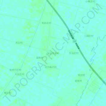
Name: 张达子庙村 topographic map, elevation, terrain.
Location: 张达子庙村, 德州市, 山东省, 中国 (37.07806 116.54963 37.11806 116.58963)
Average elevation: 22 m
Minimum elevation: 19 m
Maximum elevation: 24 m
Other topographic maps
Click on a map to view its topography, its elevation and its terrain.