
Thank you for supporting this site ❤️
Make a donation
Make a donation
Osterbruch topographic map
Click on the map to display elevation.
Thank you for supporting this site ❤️
Make a donation
Make a donation
About this map
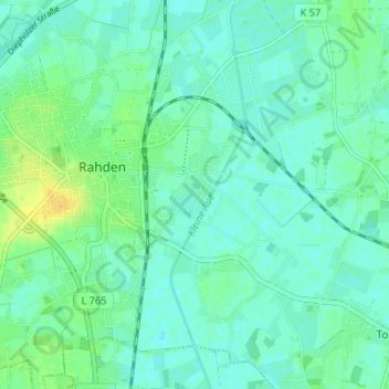
Name: Osterbruch topographic map, elevation, terrain.
Average elevation: 44 m
Minimum elevation: 37 m
Maximum elevation: 59 m
Thank you for supporting this site ❤️
Make a donation
Make a donation
Other topographic maps
Click on a map to view its topography, its elevation and its terrain.
Tonnenheide
Deutschland > Nordrhein-Westfalen > Kreis Minden-Lübbecke > Rahden
Average elevation: 44 m
Kleinendorf
Deutschland > Nordrhein-Westfalen > Kreis Minden-Lübbecke > Rahden
Average elevation: 42 m