
Schmidt topographic map
Click on the map to display elevation.
About this map
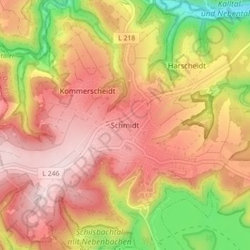
Name: Schmidt topographic map, elevation, terrain.
Location: Schmidt, Nideggen, Kreis Düren, North Rhine-Westphalia, Germany (50.64162 6.38794 50.68162 6.42794)
Average elevation: 377 m
Minimum elevation: 193 m
Maximum elevation: 497 m
Other topographic maps
Click on a map to view its topography, its elevation and its terrain.