
Thank you for supporting this site ❤️
Make a donation
Make a donation
Casal do Ramos topographic map
Click on the map to display elevation.
Thank you for supporting this site ❤️
Make a donation
Make a donation
About this map
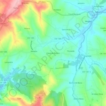
Name: Casal do Ramos topographic map, elevation, terrain.
Location: Casal do Ramos, Cela, Alcobaça, Leiria, 2460-760, Portugal (39.48563 -9.05162 39.52563 -9.01162)
Average elevation: 95 m
Minimum elevation: 45 m
Maximum elevation: 207 m
Thank you for supporting this site ❤️
Make a donation
Make a donation