
Khelloul topographic map
Interactive map
Click on the map to display elevation.
About this map
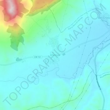
Name: Khelloul topographic map, elevation, terrain.
Location: Khelloul, Abou El Hassen, Daïra Abou El Hassen, Chlef, Algérie (36.40051 1.21765 36.44051 1.25765)
Average elevation: 202 m
Minimum elevation: 122 m
Maximum elevation: 605 m