
瀛台 topographic map
Interactive map
Click on the map to display elevation.
About this map
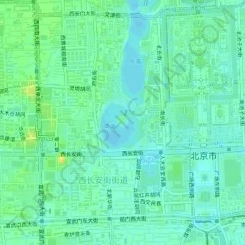
Name: 瀛台 topographic map, elevation, terrain.
Location: 瀛台, 西长安街街道, 首都功能核心区, 西城区, 北京市, 100032, 中国 (39.90846 116.37876 39.91004 116.38056)
Average elevation: 51 m
Minimum elevation: 44 m
Maximum elevation: 62 m
Other topographic maps
Click on a map to view its topography, its elevation and its terrain.