
Thank you for supporting this site ❤️
Make a donation
Make a donation
Oberense topographic map
Click on the map to display elevation.
Thank you for supporting this site ❤️
Make a donation
Make a donation
About this map
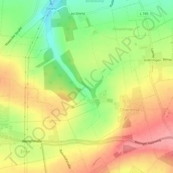
Name: Oberense topographic map, elevation, terrain.
Location: Oberense, Ense, Kreis Soest, Nordrhein-Westfalen, Deutschland (51.49960 7.97293 51.52469 8.01083)
Average elevation: 196 m
Minimum elevation: 143 m
Maximum elevation: 244 m
Thank you for supporting this site ❤️
Make a donation
Make a donation