
Thank you for supporting this site ❤️
Make a donation
Make a donation
North Judson topographic map
Click on the map to display elevation.
Thank you for supporting this site ❤️
Make a donation
Make a donation
About this map
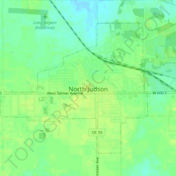
Name: North Judson topographic map, elevation, terrain.
Location: North Judson, Starke County, Indiana, 46366, United States (41.20583 -86.79552 41.22578 -86.76547)
Average elevation: 215 m
Minimum elevation: 206 m
Maximum elevation: 221 m
Thank you for supporting this site ❤️
Make a donation
Make a donation
Other topographic maps
Click on a map to view its topography, its elevation and its terrain.