
Thank you for supporting this site ❤️
Make a donation
Make a donation
Mellaha topographic map
Click on the map to display elevation.
Thank you for supporting this site ❤️
Make a donation
Make a donation
About this map
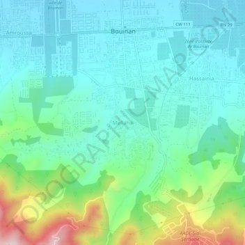
Name: Mellaha topographic map, elevation, terrain.
Location: Mellaha, Bouinan, Daïra Bouinan, Blida, 09450, Algérie (36.49725 2.97172 36.53725 3.01172)
Average elevation: 169 m
Minimum elevation: 75 m
Maximum elevation: 467 m
Thank you for supporting this site ❤️
Make a donation
Make a donation