
姥桥镇 topographic map
Interactive map
Click on the map to display elevation.
About this map
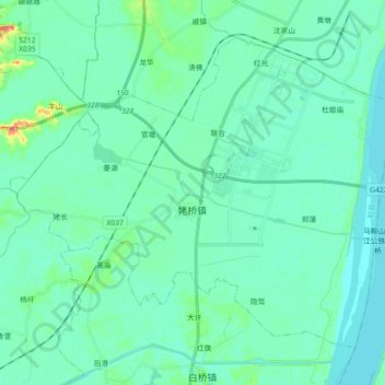
Name: 姥桥镇 topographic map, elevation, terrain.
Location: 姥桥镇, 和县, 马鞍山市, 安徽省, 238200, 中国 (31.55106 118.21889 31.67420 118.39813)
Average elevation: 8 m
Minimum elevation: 0 m
Maximum elevation: 49 m
Other topographic maps
Click on a map to view its topography, its elevation and its terrain.