
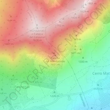
Cancho del Mondalindo topographic map
Interactive map
Click on the map to display elevation.
About this map
Name: Cancho del Mondalindo topographic map, elevation, terrain.
Average elevation: 1,442 m
Minimum elevation: 1,098 m
Maximum elevation: 1,825 m
Other topographic maps
Click on a map to view its topography, its elevation and its terrain.
Los Molinos
España > Comunidad de Madrid > Bustarviejo
Los Molinos, Bustarviejo, Sierra Norte, Comunidad de Madrid, 28729, España
Average elevation: 1,120 m