
Thank you for supporting this site ❤️
Make a donation
Make a donation
Chitawira topographic map
Click on the map to display elevation.
Thank you for supporting this site ❤️
Make a donation
Make a donation
About this map
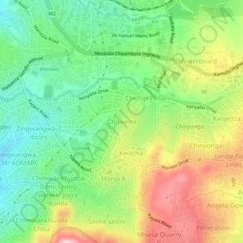
Name: Chitawira topographic map, elevation, terrain.
Location: Chitawira, Blantyre, Southern Region, Malawi, Malawi (-15.83210 35.00792 -15.79210 35.04792)
Average elevation: 1,105 m
Minimum elevation: 1,009 m
Maximum elevation: 1,244 m
Thank you for supporting this site ❤️
Make a donation
Make a donation