
陡坡山村 topographic map
Interactive map
Click on the map to display elevation.
About this map
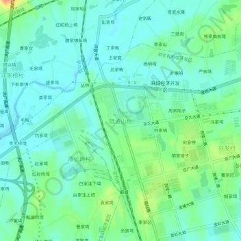
Name: 陡坡山村 topographic map, elevation, terrain.
Location: 陡坡山村, 黄冈市, 湖北省, 中国 (31.13907 114.93696 31.17907 114.97696)
Average elevation: 62 m
Minimum elevation: 42 m
Maximum elevation: 119 m
Other topographic maps
Click on a map to view its topography, its elevation and its terrain.