
郫筒街道 topographic map
Interactive map
Click on the map to display elevation.
About this map
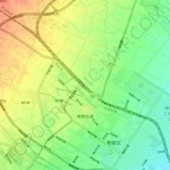
Name: 郫筒街道 topographic map, elevation, terrain.
Location: 郫筒街道, 郫都区, 成都市, 四川省, 中国 (30.78619 103.83903 30.85851 103.91593)
Average elevation: 562 m
Minimum elevation: 542 m
Maximum elevation: 585 m
Other topographic maps
Click on a map to view its topography, its elevation and its terrain.