
Thank you for supporting this site ❤️
Make a donation
Make a donation
Sutherland topographic map
Click on the map to display elevation.
Thank you for supporting this site ❤️
Make a donation
Make a donation
About this map
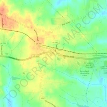
Name: Sutherland topographic map, elevation, terrain.
Location: Sutherland, Dinwiddie County, Virginia, 23885, United States (37.17598 -77.57971 37.21598 -77.53971)
Average elevation: 76 m
Minimum elevation: 54 m
Maximum elevation: 101 m
Thank you for supporting this site ❤️
Make a donation
Make a donation