
Lohheide topographic map
Interactive map
Click on the map to display elevation.
About this map
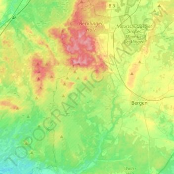
Name: Lohheide topographic map, elevation, terrain.
Location: Lohheide, Landkreis Celle, Lower Saxony, Germany (52.73887 9.81606 52.90537 9.93898)
Average elevation: 71 m
Minimum elevation: 28 m
Maximum elevation: 143 m