
Thank you for supporting this site ❤️
Make a donation
Make a donation
Dorne topographic map
Click on the map to display elevation.
Thank you for supporting this site ❤️
Make a donation
Make a donation
About this map
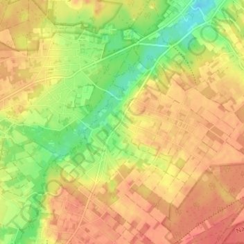
Name: Dorne topographic map, elevation, terrain.
Location: Dorne, Opoeteren, Maaseik, Limburg, Vlaanderen, 3680, België (51.02372 5.60492 51.06372 5.64492)
Average elevation: 74 m
Minimum elevation: 44 m
Maximum elevation: 92 m
Thank you for supporting this site ❤️
Make a donation
Make a donation