
老护城河 topographic map
Interactive map
Click on the map to display elevation.
About this map
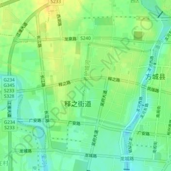
Name: 老护城河 topographic map, elevation, terrain.
Location: 老护城河, 释之街道, 南阳市, 释之街道, 河南省, 中国 (33.25105 112.98606 33.26461 113.00021)
Average elevation: 159 m
Minimum elevation: 147 m
Maximum elevation: 172 m