
Sathanur topographic map
Interactive map
Click on the map to display elevation.
About this map
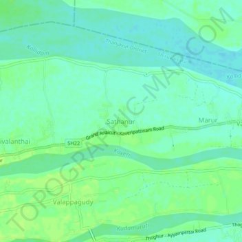
Name: Sathanur topographic map, elevation, terrain.
Average elevation: 47 m
Minimum elevation: 41 m
Maximum elevation: 52 m
Other topographic maps
Click on a map to view its topography, its elevation and its terrain.
Kallanai
India > Tamil Nadu > Thiruvaiyaru > Kallanai
Kallanai, Thiruvaiyaru, Thanjavur District, Tamil Nadu, India
Average elevation: 60 m